DGCO is well equipped to handle basic geology projects including wellsite duties, core description, and surface geology mapping.
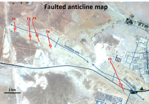
Surface Geology
Surface geology mapping is one of our unique capabilities in which we utilize integrated approaches of remote sensing and outcrop visits to provide robust interpretations of geologic features. We map geologic formations, tectonic structures, surface hydrologic systems, and geomorphologic features.
Well Sitting
Our basic geology services also include wide range of wellsite activities such as supervision of drilling operations, drilling cutting description, and arrangement of wellsite logistics.
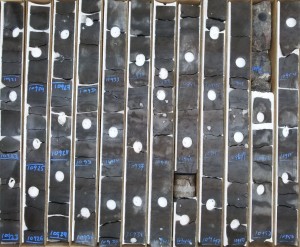
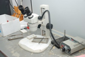
Core Description
Core description services cover detailed descriptions of lithology, primary sedimentary structures, tectonic features, as well as environmental interpretations.